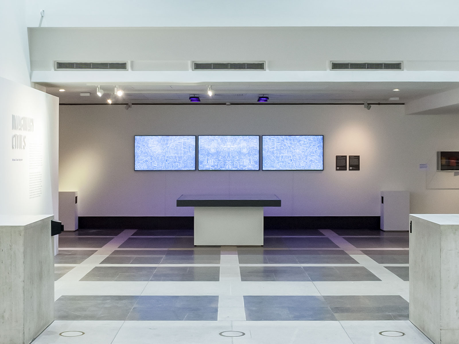
Imaginary Cities — London (11010962736)
v1.0 by: Michael Takeo Magruder, 2019
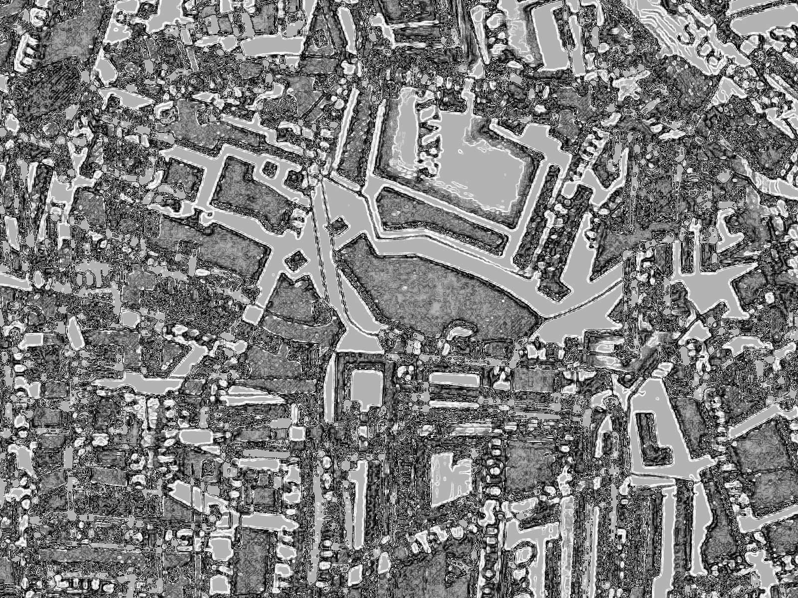
An ever-changing digital 'landscape' created from a historic map of late-Georgian London.
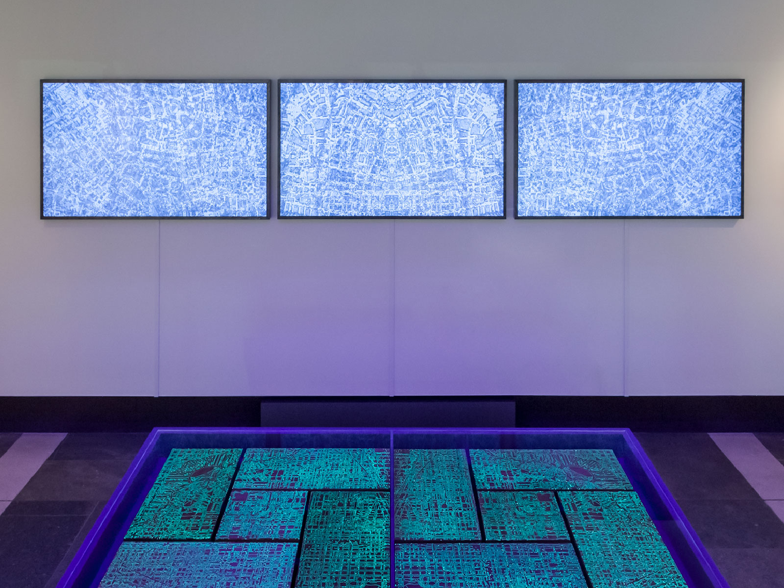
Installation Documentation:
About the Artwork:
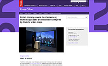
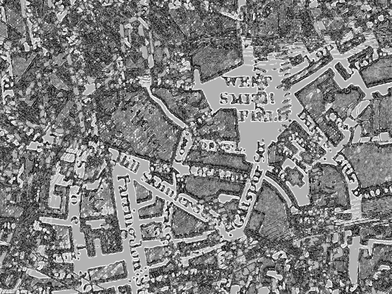
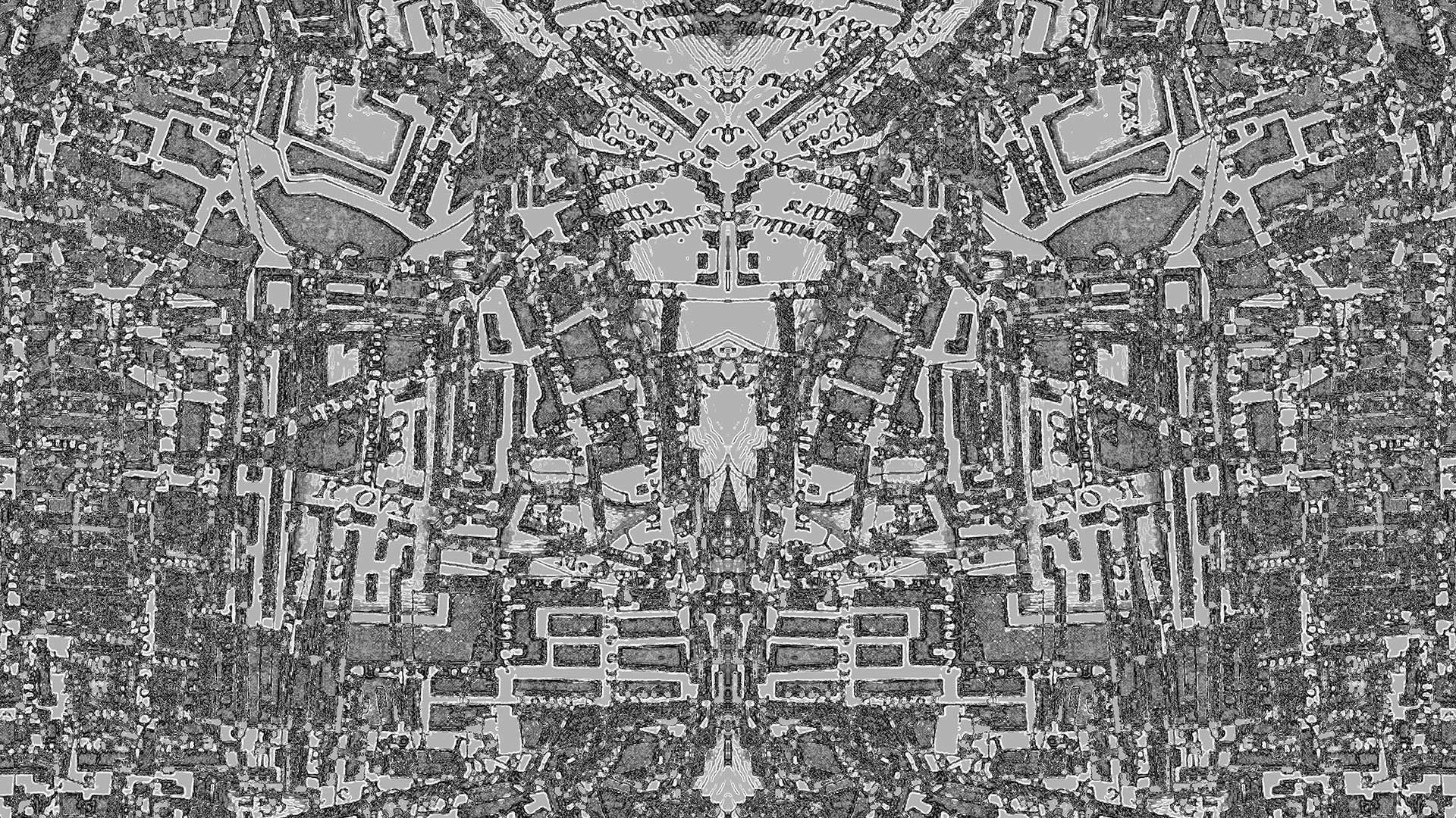
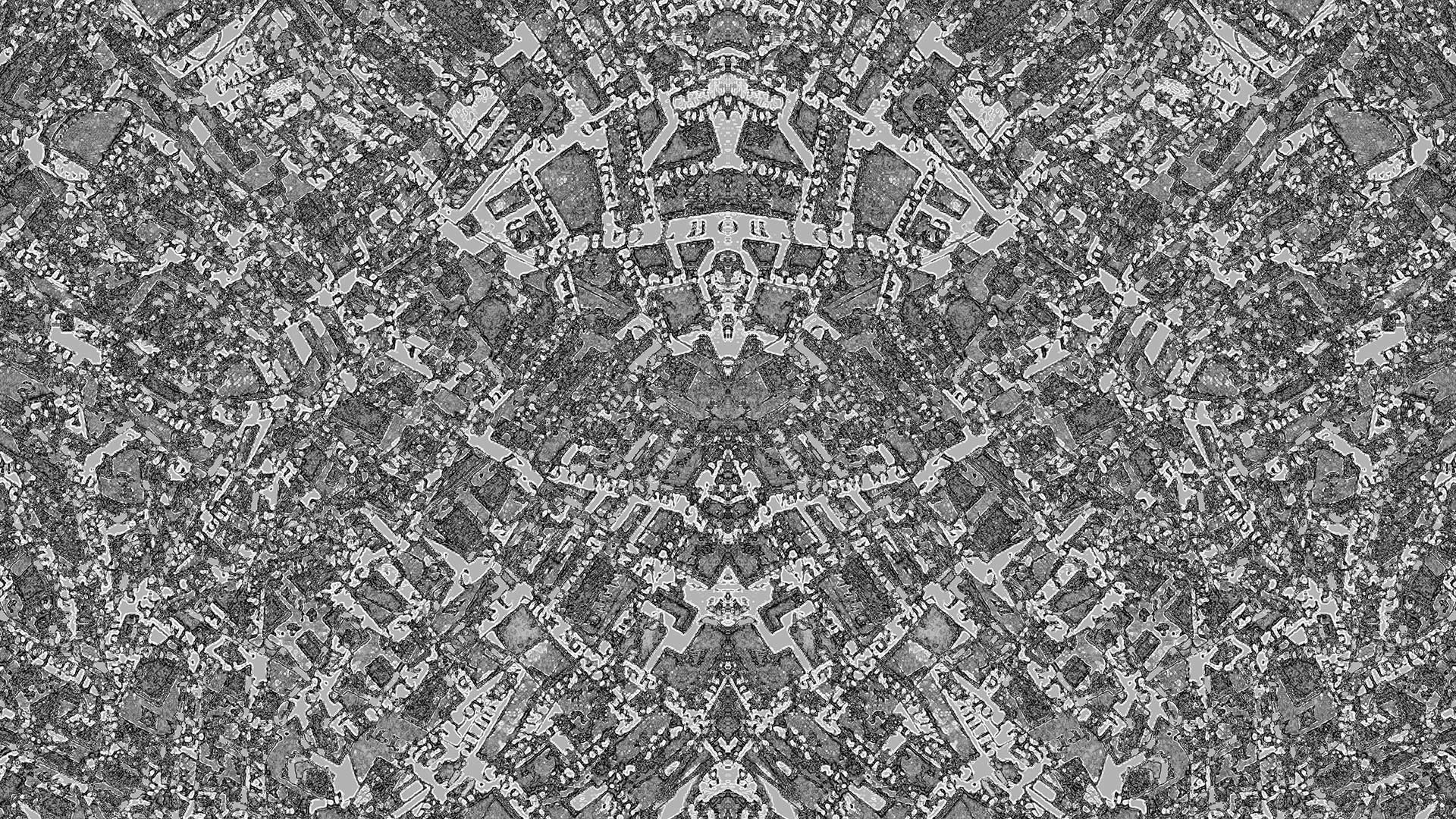
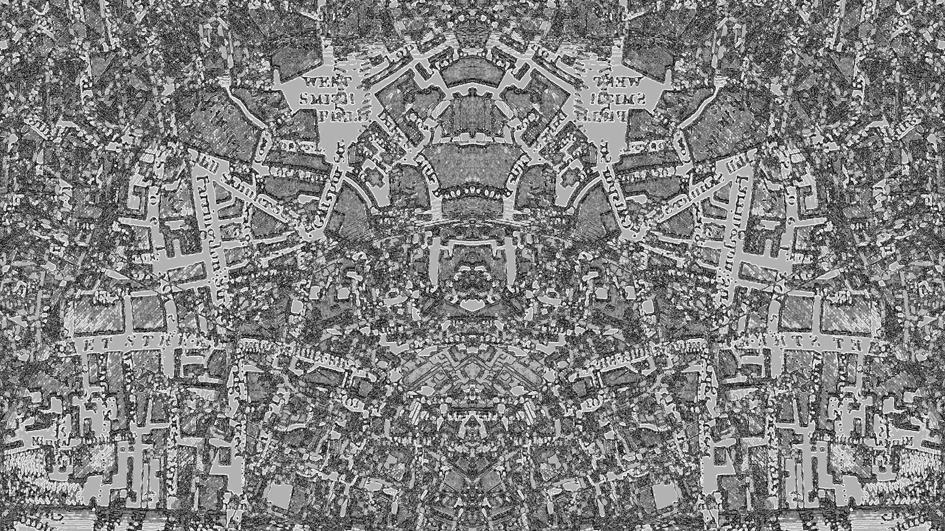
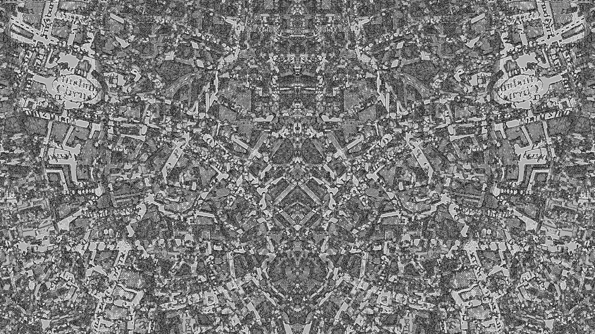
Imaginary Cities — London (11010962736) is an ever-changing digital 'landscape' created from a historic map of late-Georgian London that is part of the British Library's One Million Images from Scanned Books collection on Flickr Commons. The artwork's physical 'canvas' is constructed from a triptych of 55" 4K LED screens that are encased in custom silver-gilded frames and controlled by a single computer. A Flash program running on the system composes the scene from a dataset containing an entire year (2018) of processed image material that was generated by the project's online server application. The ephemeral visuals are constantly remixed in real time and are accompanied by an algorithmic soundscape that completes the aesthetic experience.
Source Map:
'A Plan of London and its Environs' drawn by R Creighton & engraved by J Walker
in S Lewis, A Topographical Dictionary of England… London, 1834. Cup.1247.g
www.flickr.com/photos/britishlibrary/11010962736
Digital Media Documentation:
In Collaboration with:
David Steele [ server architecture & programming ]
With Thanks to:
Mahendra Mahey [ BL Labs: project research & development ] . Martin McGrath [ exhibition design ] . Geraldine Kenny [ BL: exhibition production ]
Supported by:
Imaginary Cities — London (11010962736) was commissioned and produced by the British Library for its St Pancras, London site (5 April - 1 September 2019). The project was generously supported by British Library Labs (research and development) with funds from the Andrew W. Mellon Foundation and the Eccles Centre for American Studies (exhibition and publication) at the British Library.
Artwork Requirements:
Physical installation comprised of: Real-time algorithmic triptych with soundscape (Flash), customised 4K silver-gilded LED screens, 3805×708×43mm, infinite duration.
Online Resources: